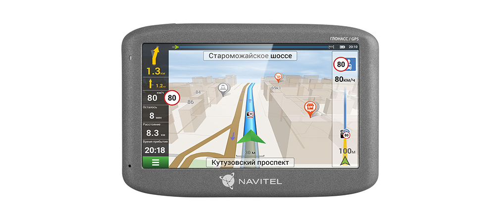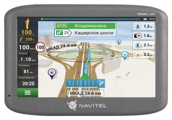
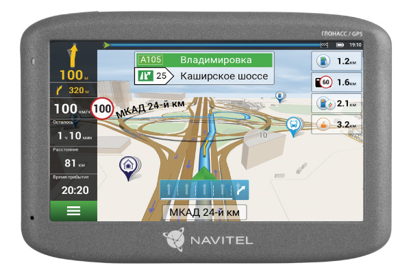
NAVITEL G500 is a car navigator with GLONASS support, housed in a high‑quality, modern casing. To install additional NAVITEL® maps, the device has 4 GB of internal memory, as well as an additional external slot for microSDHC cards up to 32 GB.
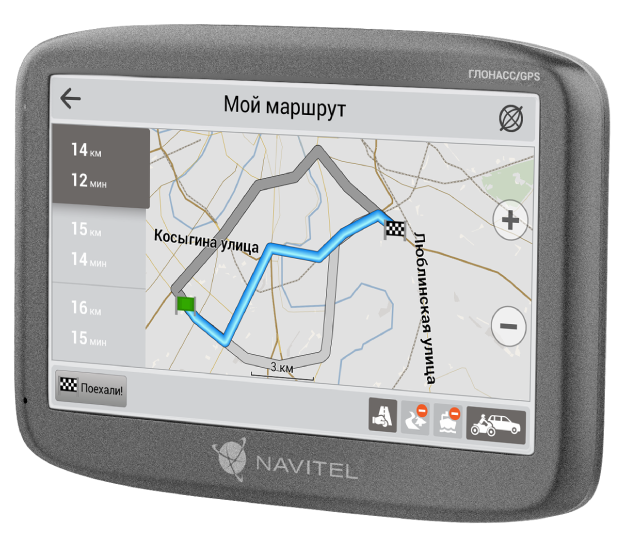

NAVITEL G500 allows its owner to plot a route of any complexity. The number of points when building a route is unlimited. The navigator quickly connects to GLONASS and GPS satellites and maintains a stable connection.
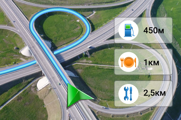
The maps support 3D mode, which provides users with access to three‑dimensional transport interchanges and building floor levels.
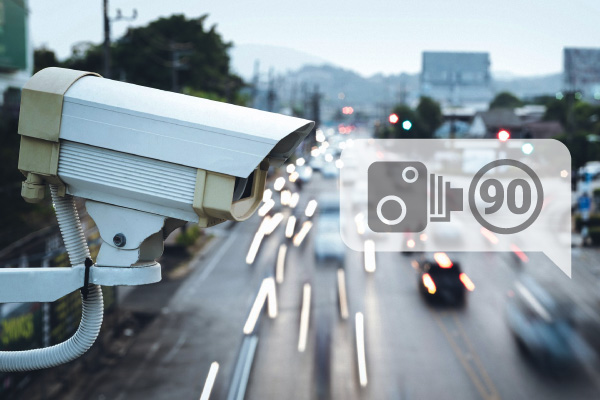
The onboard computer will warn you in time about speed cameras and road radars* and will tell you which lane is best to follow.
* Camera warnings are not included in maps of those countries where the use of speed camera location alerts is prohibited by local law.
The information about the GPS coordinates of stationary and mobile radars and video recording cameras used in the navigation software is for informational purposes only. The manufacturer cannot guarantee that the GPS databases of objects pre‑installed and updated in the software fully correspond to the current traffic situation.
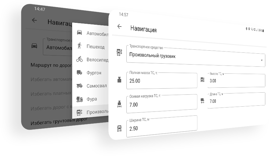
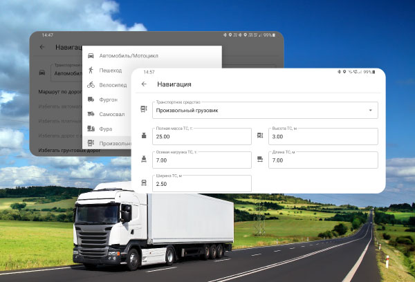
The Navitel Navigator program pre-installed on the NAVITEL G500 offers an expanded set of settings for navigating heavy-duty vehicles. Select the type of cargo vehicle in the settings or create your own vehicle by adding its parameters: length, width, height, maximum permitted and actual weight, axle load, etc., and the program will build routes taking into account road restrictions for this type of vehicle, allowing you to travel to your destination without any obstacles.
With the NAVITEL G500, you get access to detailed, highly detailed maps of 17 countries: Russia, Azerbaijan, Armenia, Belarus, Georgia, Denmark, Iceland, Kazakhstan, Kyrgyzstan, Latvia, Lithuania, Norway, Tajikistan, Uzbekistan, Finland, Sweden, and Estonia.
The NAVITEL G500 has Navitel Navigator software with access to detailed maps of Russia, Azerbaijan, Armenia, Belarus, Georgia, Denmark, Iceland, Kazakhstan, Kyrgyzstan, Latvia, Lithuania, Norway, Tajikistan, Uzbekistan, Finland, Sweden and Estonia.
Maps contain up-to-date information about the infrastructure of cities and towns. The expanded database of POI facilities (gas stations, ATMs, restaurants, etc.) makes it easy to find the right places. The road network includes all streets and roads, taking into account the direction of traffic and interchanges, and contains information about the location of stationary road radars and speed cameras*.
* There are no camera warnings on the maps of those countries where the use of speed camera alerts is prohibited by local law.
Free map updates are available for users.